Survey Control Mark
So, while editing this week’s WeeklyOSM entry, I stumbled upon this OSM diary titled “GPX Reference Point Generator” (GPXRPG).
This is a simple yet very cool tool for making OSM armchair mapping more serious and accurate.
The main idea is that we use coordinate data from local government survey control mark plaques to help us “align” satellite imagery to its correct position.
Local government survey control marks are usually surveyed and calibrated to a very high degree of precision, and their precise coordinate data can often be found on the local government’s website. At the same time, the physical marker is usually visible in satellite imagery. So, we take the high-precision coordinates from the local government website and then make sure that our current satellite imagery is properly aligned with those coordinates. In other words, we make sure that the plaque visible in the satellite imagery is positioned exactly where the official coordinate data says it should be.
On the “User Guide” page of the GPXRPG website, they use Australian survey control mark data as an example.
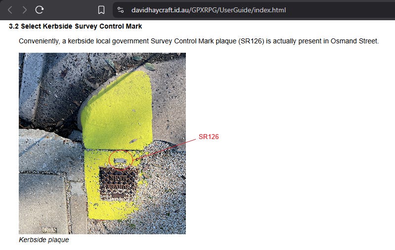
So I became curious about trying the same thing with a case in Indonesia.
After a quick search, I found this website maintained by Badan Informasi Geospasial (BIG), the Geospatial Information Agency of the Republic of Indonesia.
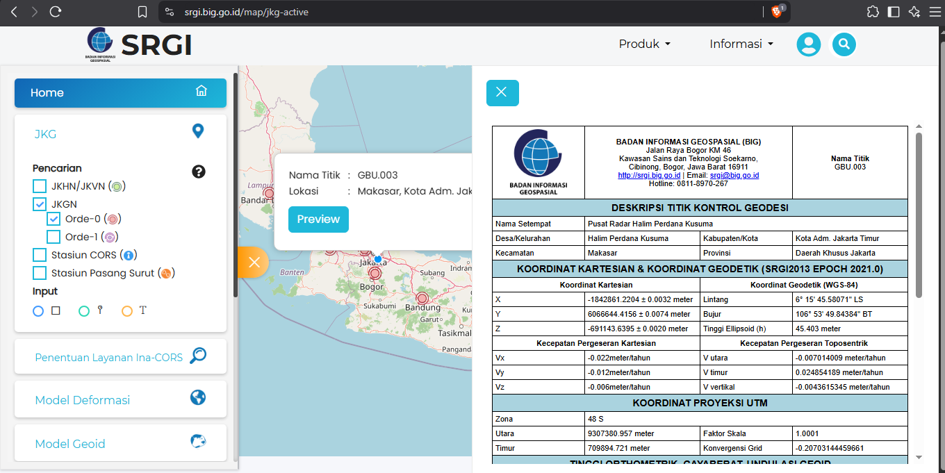
I picked one control mark in Jakarta, specifically “Pusat Radar Halim Perdana Kusuma.” From its information sheet, I obtained its geodetic coordinates in WGS 84: 6° 15’ 45.58071” LS, 106° 53’ 49.84384” BT.
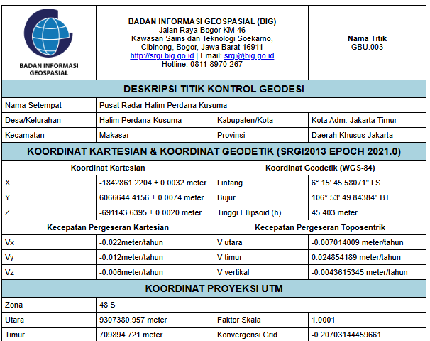
I converted them to the OpenStreetMap format while preserving the full precision given in the information sheet:
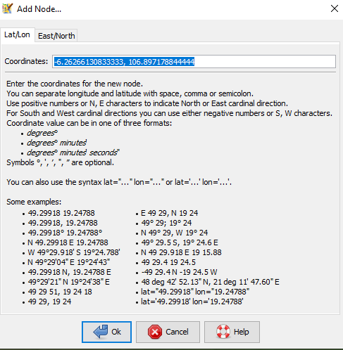
-6.26266130833333, 106.897178844444
I opened JOSM, selected File → New Layer, then pressed Ctrl + D to add a node at a specific coordinate. I pasted the coordinates there.
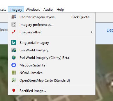
Then I clicked “Imagery” to display several satellite imagery layers so I could compare them with each other.
Fortunately, BIG’s information sheet also includes a real-life photograph showing the actual location of the control mark. From this photograph, I could infer where exactly the marker is located.
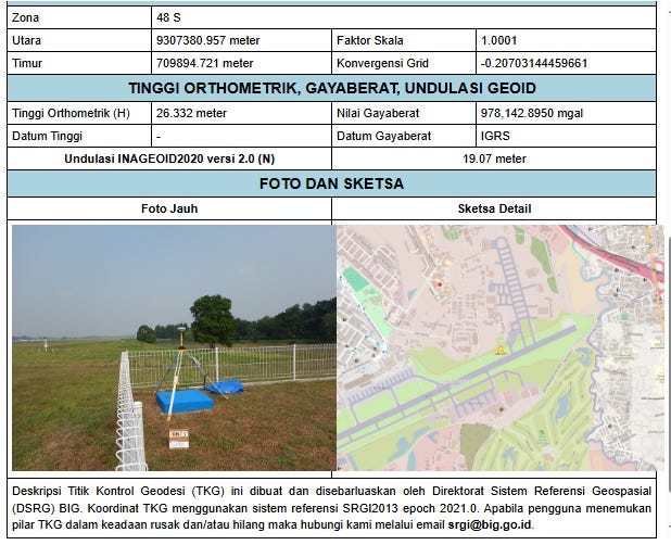
From the photograph, it seems that the marker is located at the very corner, near the fence.
I then compared the Bing, Mapbox, and Esri satellite imagery.
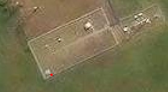
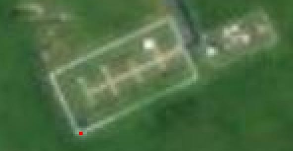
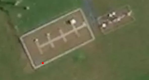
It seems that Esri is the closest to the photographic reference. The marker is near the corner, but not too close to the fence.
Bing is the second closest. The marker is near the corner, but appears to be too close to the fence.
Mapbox is the furthest from the reference point. The marker appears to be quite far from the corner.
Using this reference point, I might be able to recalibrate the satellite imagery more accurately.
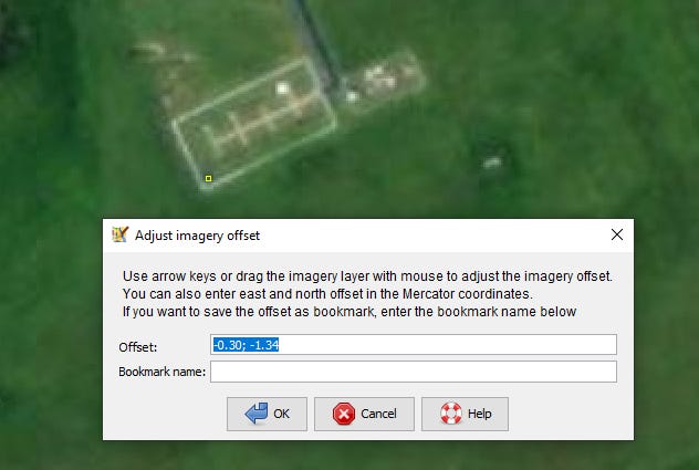
Right-click on the satellite imagery layer, then click “New Offset.”
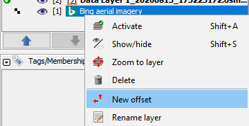
Then, drag the satellite imagery until it’s aligned correctly.